What Drone Photography Costs for a North Texas Listing - and What Part 107 Actually Means
Aerial coverage stopped being a luxury item in this market some time ago. On an acreage lot in Celina, a golf-course home in Frisco, or anything backing to a greenbelt, the drone shot is the photo that explains the property. What agents are less clear on is what it should cost, and why the licensing question is not paperwork trivia.
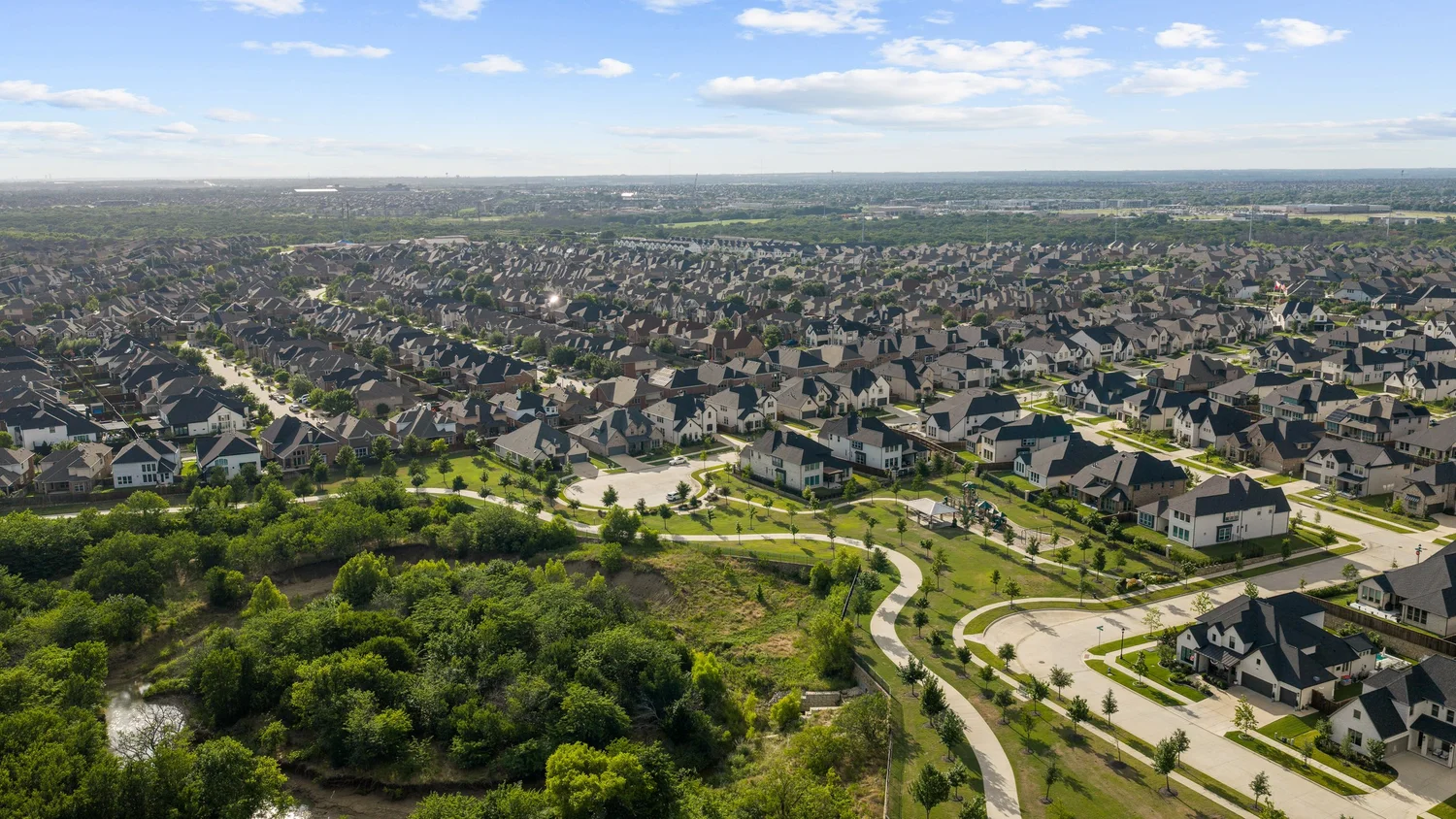
What aerial coverage costs
Pricing in North Texas generally falls into three shapes.
As an add-on to a photo shoot. The cheapest way to get aerials, because the pilot is already on site. Our 5 aerial drone photos add-on is $89.
Bundled into a package. From our Essential + Drone package up, aerial photos are included rather than billed separately — 5 drone photos in Essential, full aerial coverage in Cinematic Pro, and 10 drone photos plus aerial video in the Ultimate Suite. Packages start at $259.
As a standalone visit. When the listing already has photos and only needs aerials, someone has to make the trip for that alone. Our aerial-media-only rate is $165.
Two related items sit next to this on most listings: neighborhood B-roll at $99 and community amenities at $49 — the pond, the trail system, the amenity center. On a relocation buyer’s shortlist, those frames often do more work than another bedroom photo.
Anyone quoting significantly below the standalone rate is usually flying unlicensed, uninsured, or both. That is the part worth understanding.
Part 107 is not a formality
Commercial drone work in the United States requires an FAA remote pilot certificate under 14 CFR Part 107. “Commercial” includes flying a property for a listing — even if the drone belongs to a friend and no one is billing for the flight specifically.
The certificate is not just a test. It comes with operating rules that shape how a shoot is planned:
- 400 feet maximum altitude above ground level, higher only when the aircraft stays within 400 feet of a structure.
- Visual line of sight at all times. If the pilot is flying by camera view, a visual observer has to keep eyes on the aircraft.
- Daylight or civil twilight, with anti-collision lighting required for twilight operations. This is directly relevant if you want dusk aerials.
- Three miles minimum visibility from the control station.
- No flights over people who are not part of the operation, unless the aircraft and operation meet the FAA’s specific categories for that.
- Remote ID broadcast, and a registered aircraft.
Source: FAA — Part 107 regulations.
For a listing agent, the practical translation is simple. A licensed pilot plans the flight around these constraints before arriving. An unlicensed one discovers them on site, or ignores them — and the liability for a drone incident on a property you listed is not a conversation you want to have.
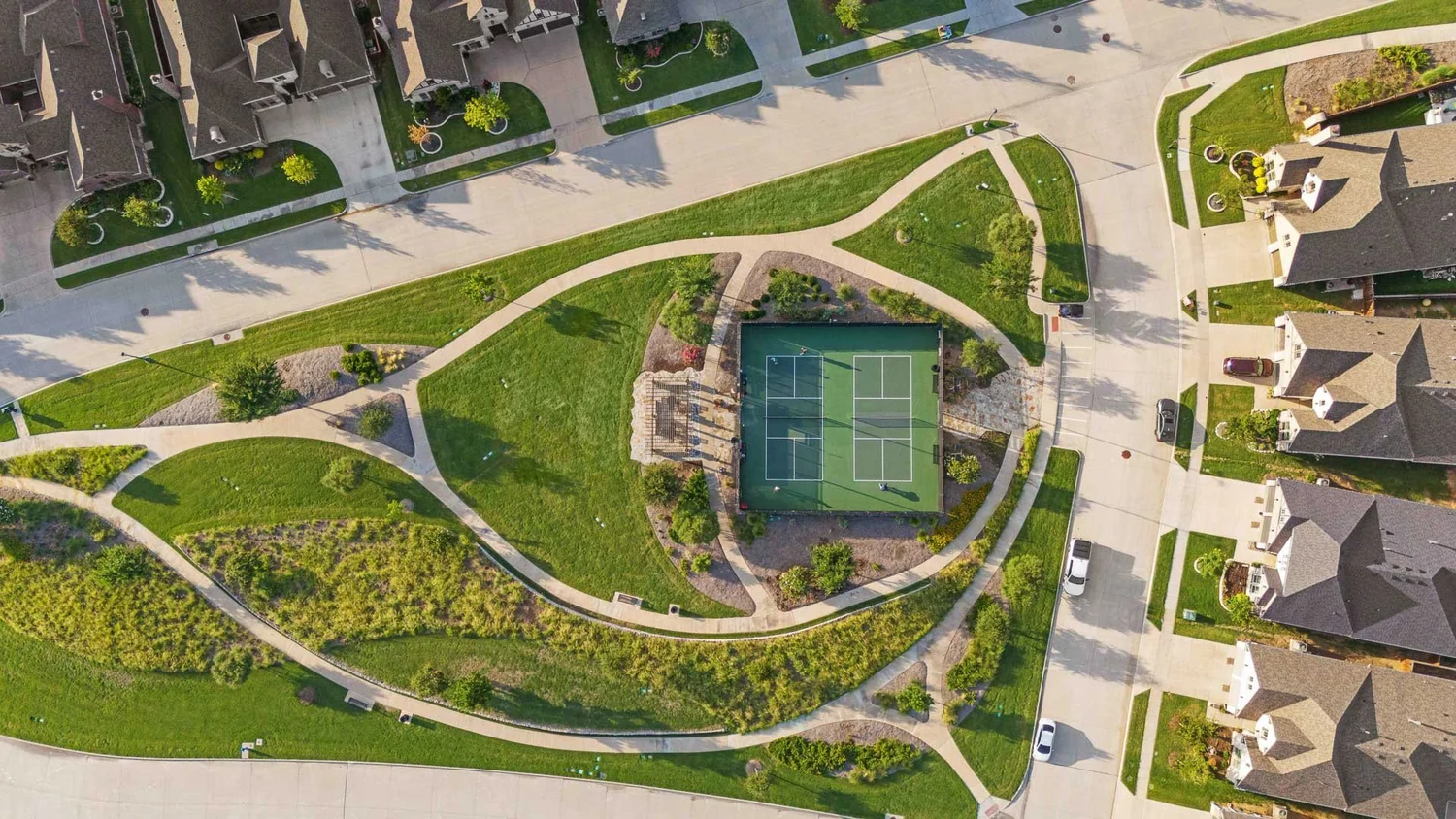
Airspace: why McKinney and Frisco are not the same as open country
This is the part that catches people out in our market. Large parts of North Dallas sit under controlled airspace.
Under Part 107, flying in controlled airspace below 400 feet requires an airspace authorization — obtained either through FAADroneZone or, in near real time, through LAANC (Low Altitude Authorization and Notification Capability). LAANC returns same-day approvals at or below the altitude ceilings published on the FAA’s UAS Facility Maps, and requests can be filed up to 90 days ahead. Flights above those pre-approved ceilings need “further coordination” and must be submitted at least 72 hours in advance. At airports not covered by LAANC, manual authorization through FAADroneZone must be filed at least 60 days out.
Source: FAA — Part 107 Airspace Authorizations.
In practice, across McKinney, Frisco, Plano, Allen and Prosper, altitude ceilings vary grid square by grid square depending on proximity to the surrounding airports. Some blocks allow a comfortable ceiling. Others cap you low enough that the shot you pictured is not legally available, and the flight has to be planned differently.
This is why “can you fly it tomorrow morning?” is a scheduling question, not a yes/no. On a listing inside a low ceiling, authorization is something to sort out before the shoot, not on the driveway.

When drone coverage earns its place
Not every listing needs aerials. These do:
- Acreage and estate lots. Boundaries and usable land are invisible from the ground.
- Golf course, greenbelt, and water frontage. The reason the home is priced where it is.
- New construction in developing areas. Aerials show the community taking shape, which ground shots cannot.
- Homes with substantial outdoor build-out. Pool, casita, outdoor kitchen, sport court — the layout only makes sense from above.
- Relocation-heavy price bands. Buyers moving from out of state are evaluating the neighborhood as much as the house.
A standard interior-lot home in an established Plano neighborhood, priced at the local median, usually does not need more than a couple of establishing aerials — which is exactly what the Essential package includes.
What to ask before you book aerial work
- Is the pilot Part 107 certified? Ask for it directly. A licensed operator will not be offended.
- Is the aircraft registered and Remote ID compliant?
- Who handles airspace authorization, and has this address been checked?
- What happens if the wind is out of limits on shoot day? We reschedule at no cost — drone flight in unsafe wind is not a judgment call worth making.
- Is aerial included in the package, or added at the end?
Frequently asked questions
How much do drone pilots charge for real estate photography?
In North Texas, aerials added to an existing shoot are the cheapest route — ours are $89 for five photos. A standalone aerial visit is $165, because it is a dedicated trip. Full packages that include aerial coverage start at $259.
Do I need a licensed drone pilot for my listing?
Yes. Flying a property for a listing is a commercial operation under FAA rules and requires a Part 107 remote pilot certificate. All of our drone work is flown by FAA-licensed pilots.
Can you fly drones in McKinney and Frisco?
Yes, with the correct airspace authorization where it is required. Much of North Dallas sits under controlled airspace with published altitude ceilings, and authorization is arranged before the shoot.
Can you fly at sunset for twilight aerials?
Civil twilight operations are permitted with anti-collision lighting. Twilight sessions are $125 added to a scheduled shoot, or $199 standalone, and digital twilight conversions are $25 per photo if the schedule does not allow a dusk visit.
What happens if the weather is bad?
If wind or rain makes drone flight or exterior work unsafe, we reschedule at no extra cost. Cloudy-day exteriors get free sky replacement.
Booking a listing that needs aerials? See aerial and drone media or book online — no card required, pay after delivery.